State Profiles · Republic of India
Every Indian state,
one connected report system.
History, geography, demographics, economy and industries — complete portraits of India's states and union territories, their challenges, and their futures.
Scroll to explore the system ↓
State & UT profiles
Long-form reports for every state and union territory, each built from the same seventeen chapters so any two places can be read against each other.
- History → Future in 17 chapters
- 9 published, 36 planned
- Sourced numbers, dated
Explore map
A live, data-driven map of every district in India.
A separate, dedicated map product built on top of the same district data — choropleth layers, rankings, comparisons and a transit overlay in one view.
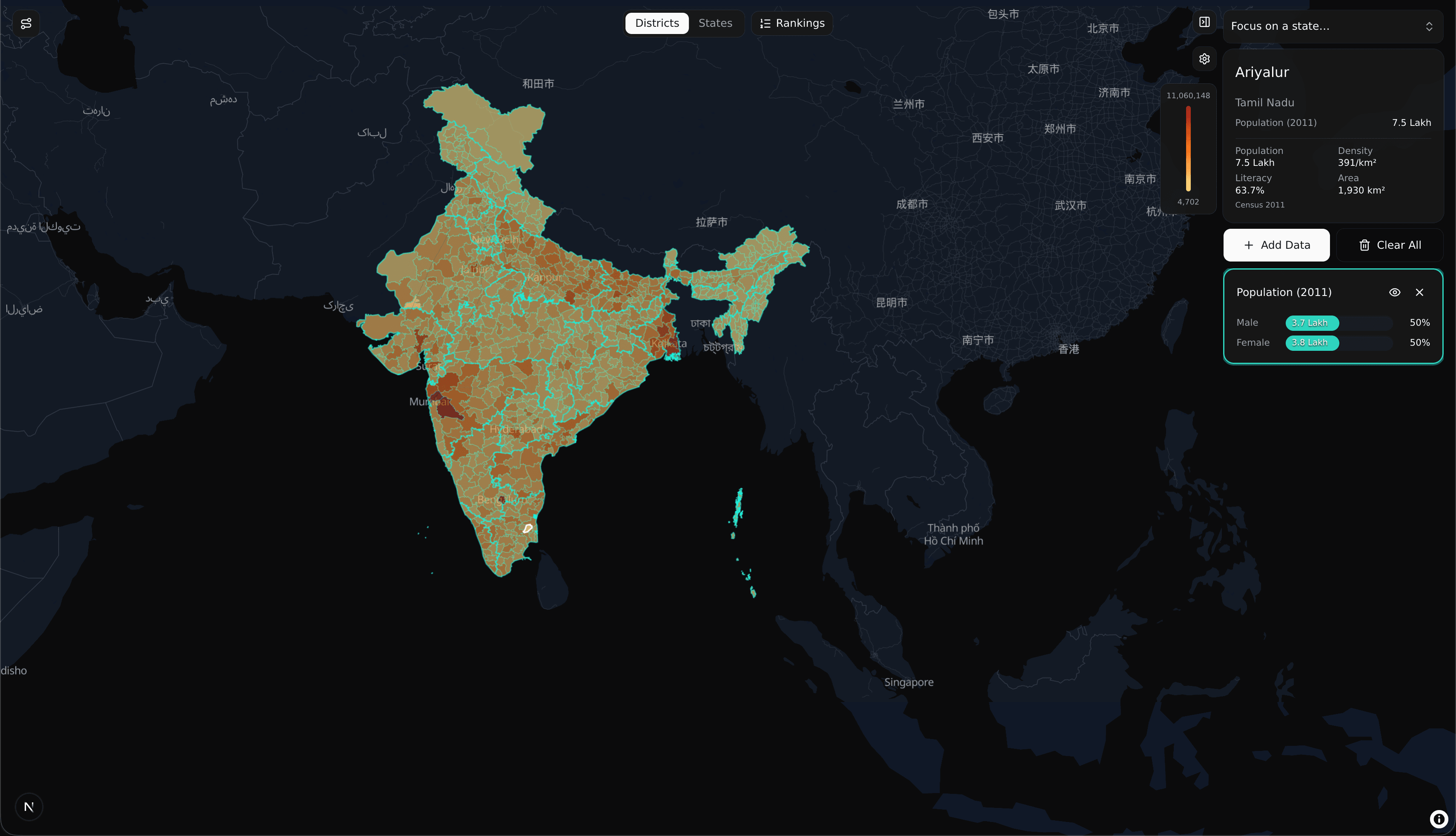
District & state choropleth
All 785 districts, colored live by whatever metric you're looking at — zoom from the whole country down to one district.
Add any data layer
Population, density, census metrics and more — layer them onto the map and switch between them instantly.
Rankings drawer
Every district or state ranked by the active metric, side by side with the map.
Focus on a state
Jump straight to any state or union territory and the map reframes around it.
District & state comparison
Select two or more places and read their headline numbers in one aligned panel.
Transit network overlay
National highways plotted over the choropleth, selectable without losing your data layer.
How it works
One structure, every state — so comparison is the default, not the exception.
01
Pick a state
Start anywhere — a state, a union territory, a city. Every entry opens the same structured profile, so nothing has to be re-learned.
02
Read the structure
History, geography, demographics, economy, industries, problems, solutions. The same seventeen chapters, in the same order, every time.
03
Compare and connect
Put two states side by side, follow a timeline, or test yourself. The reports talk to each other.